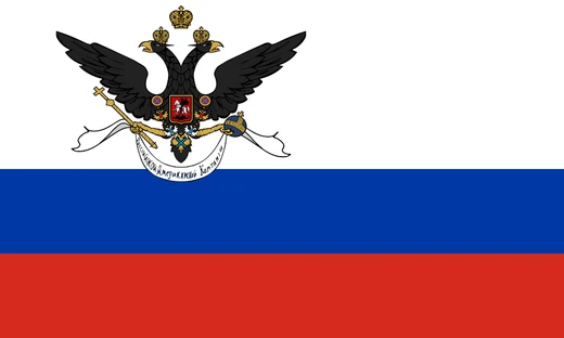
First Kamchatka Expedition
First Russian naval scientific expedition to explore the Asian Pacific coast.

Wikipedia / Wikimedia Commons
The First Kamchatka Expedition was the first Russian expedition to explore the Asian Pacific coast, commissioned by Peter the Great in 1724 and led by Vitus Bering. Active from 1725 to 1731, it was Russia's first naval scientific expedition and confirmed the presence of a strait between Asia and America, later known as the Bering Strait.
- start_year
- 1725
- end_year
- 1731
- field
- Naval scientific exploration
- nationality
- Russian
- leader
- Vitus Bering
- known_for
- Confirming the Bering Strait between Asia and America
Lore & Background
The expedition spent the first two years, from January 1725 to January 1727, traveling from Saint Petersburg to Okhotsk using horses, dog sleds, and river boats. After wintering in Okhotsk, it moved to the mouth of the Kamchatka River. In July–August 1728 it sailed north and northeast, exploring Karaginsky Gulf, Kresta Bay, Providence Bay, Gulf of Anadyr, Cape Chukotsky, and St. Lawrence Island. The expedition went through the Bering Strait to the Chukchi Sea and returned, believing it had completed its tasks. It provided evidence that Asia and North America are not connected.
Reader's Guide
The First Kamchatka Expedition was significant as Russia's first naval scientific expedition, commissioned by Peter the Great to explore the Asian Pacific coast. It confirmed the existence of a strait between Asia and America, later named the Bering Strait, and provided evidence that the two continents are not connected. The expedition surveyed more than 3500 km of the western coast of the sea later named after Bering. Its maps were used by all Western European cartographers. The expedition was highly praised, with Bering promoted to captain-commander, but it cost 15 men and soured relations between Russia and native peoples. It was followed in 1732 by the Second Kamchatka Expedition.
Did You Know?
- The expedition cost 15 men and soured relations between Russia and native peoples.
- It surveyed more than 3500 km of the western coast of the sea later named after Bering.
- Bering's assistants Martin Spanberg and Aleksei Chirikov were made captains after the expedition.
- The expedition's maps were used by all Western European cartographers.
More in Russian colonization of North America 1-24
Spotted an error? Know more?
This is a living reference — every entry is fact-audited, and reader corrections feed straight into our audit queue. Suggest an edit · See this site's audit record